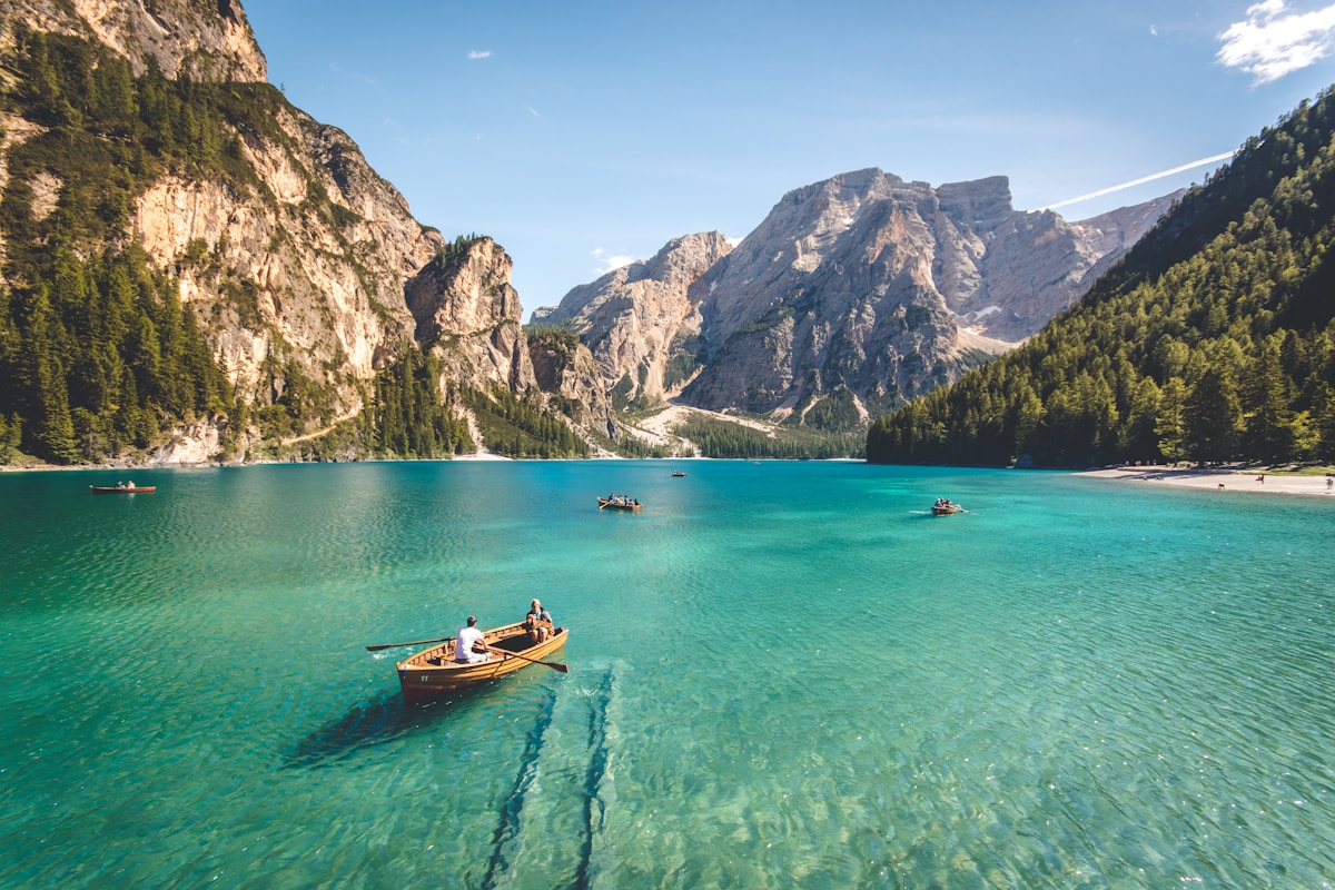
The Bottom Line
Worth it? Absolutely. Olympic National Park offers everything from rainforest walks to alpine scrambles—over 600 miles of trails across three distinct ecosystems.
What You're Getting Into
Olympic National Park is a world unto itself. Three million acres of wilderness split into three dramatically different zones: the temperate Hoh Rain Forest, the rugged Pacific coast, and the glacier-capped alpine interior. Whether you want a casual forest stroll or a backcountry expedition, this park delivers.
Distance
Varies by trail
Elevation Gain
Varies
Difficulty
Moderate
Time
Half-day to multi-day
Parking: The Part Nobody Talks About
The main access point is Port Angeles on the north side of the peninsula. From Seattle, take the Bainbridge Island ferry (35 min) or drive around via Tacoma (2.5 hours). The Hurricane Ridge Visitor Center is 17 miles from Port Angeles—check road status before going.
⚠️ Important: You need a Discover Pass ($30/year or $10/day) for parking at Washington State trailheads. Rangers do check.
The Trail: Mile by Mile
Top trails by difficulty
Easy: Hall of Mosses Trail (0.8 mi) in the Hoh Rain Forest—walking through a surreal, moss-draped world. Marymere Falls (1.8 mi) near Lake Crescent is a quick waterfall hike.
Moderate: Hurricane Hill (3.2 mi) for panoramic mountain views. Sol Duc Falls (1.6 mi) for an easy waterfall walk.
Hard: Mount Storm King (4 mi, 2,000 ft gain) for lake views with a rope-assisted scramble. Grand Valley to Enchanted Valley (30 mi) is a multi-day backcountry classic.
What to Bring
The Essentials
- Layered clothing
- waterproof everything
Nice to Have
- bear canister for backcountry
- Discover Pass or America the Beautiful Pass
- offline maps (no cell service inside the park).
When to Go (And When to Avoid)
🌸 Spring (March-May)
Snowmelt feeds water features. Trail can be muddy early in the season. Wildflowers starting to bloom. Fewer crowds than summer.
☀️ Summer (June-August)
Best weather, driest trail. Most crowded time—arrive early or go weekday. Bring sun protection and plenty of water.
🍂 Fall (September-November)
Beautiful fall colors. Crowds thin out. Weather gets unpredictable—bring layers and rain gear. Trails can be slippery when wet.
❄️ Winter (December-February)
Trail can be icy—microspikes recommended. Magical with snow. Very few people on the trail—great for solitude seekers.
Pro Tips From Locals
🏷️ Parking hack: Arrive before 8am on weekends. If the lot is full, check for overflow parking along the access road—it's usually just a short walk back.
📸 Best photo time: Golden hour (1-2 hours before sunset) creates the best light through the trees. Morning light works well for east-facing viewpoints.
🍜 Post-hike food: Check local cafes and breweries near the trailhead. Most PNW trail towns have at least one solid burger spot within 15 minutes.
Common Questions
Is this trail safe for kids?
Yes, kids 6+ can handle this trail comfortably.
Can I bring my dog?
Check current regulations for this specific trail—some require leashes at all times, others prohibit dogs entirely. Most state lands in Washington allow dogs on leash. Bring water for them.
How crowded does it get?
On summer weekends, popular trails can see 50-100+ hikers. Weekday mornings are much quieter. The further you go from the trailhead, the fewer people you'll encounter.
Is there cell service?
Spotty to none. You'll likely get some signal at the trailhead but it fades quickly. Download offline maps before you go.
Ready to Hit the Trail?
Download our complete PNW trail guide with 50+ hikes, detailed maps, and insider tips.
Get the Trail Guide — $29